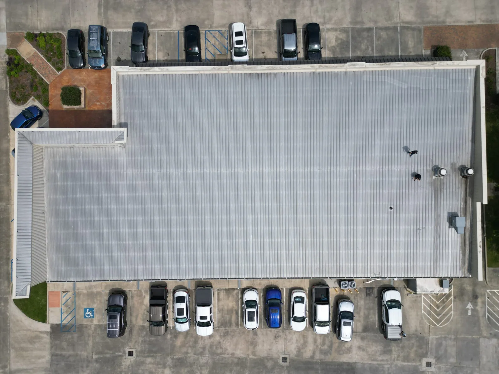
Use drone roof imaging in Independence, MO to document broad roof areas, hard-to-reach edges, and visible conditions before targeted hands-on checks.
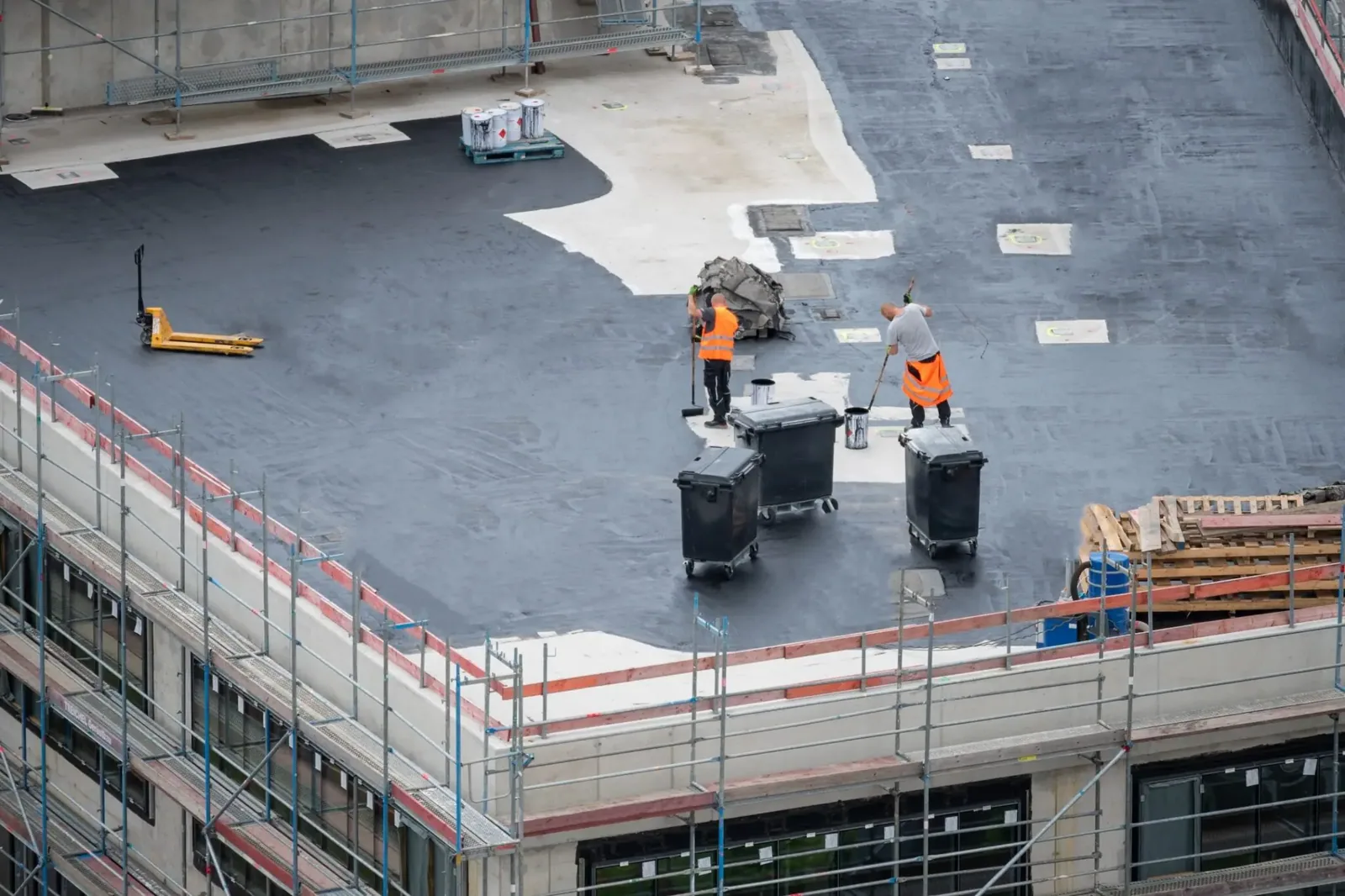
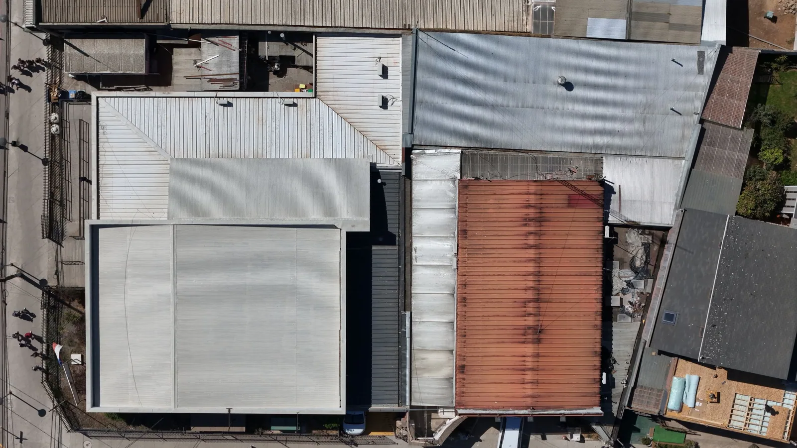
Aerial images show roof patterns that can be difficult to understand from a ladder. On a broad commercial roof in Independence, a drone pass can capture field seams, equipment clusters, ponding areas, and perimeter conditions in one visual record. We plan coverage from the roof itself and coordinate site restrictions. We use that imagery to guide the inspection, not to assume what is below the membrane. A hands-on check is still needed to confirm attachment, moisture, and material condition at critical details.
Visible Roof Conditions
Drone imaging helps when a roof is broad, segmented, or difficult to reach safely from its access points. A planned flight can document roof sections, parapets, transitions, rooftop equipment, and areas where the surface appears damaged or holds water. The images provide context for a field walk and can help an owner understand where a repair discussion is focused. We define the capture area with the facility contact and follow site restrictions.
Image quality depends on access, lighting, weather, roof reflectivity, and obstructions. HVAC screens, trees, parapets, and adjacent structures can hide a detail from the camera. A flight does not expose membrane layers or show whether insulation is wet. We flag areas that need hands-on review rather than treating the image as a complete condition assessment.
Independence includes institutional roofs with varied forms. The Harry S. Truman Library is a one-story building with a basement, offices, stacks, auditorium, conference rooms, and museum areas. That information describes its building program, not its roof assembly. On any property, drone images can help organize roof sections and staging, while on-roof inspection identifies the deck, membrane, and flashing details that govern repair decisions.
Images and Field Checks
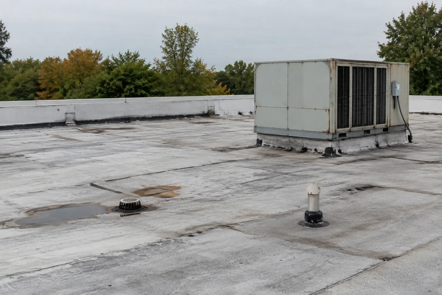
Aerial views can help compare edges, corners, drains, and equipment zones across a roof. We mark visible anomalies, then inspect representative areas on foot. A dark patch may be a repair, shadow, dirt, or moisture-related change. A bright surface may reflect light without showing its attachment. Images can locate a question, but the roof inspection answers it.
Weather observations in the Independence area include quarter-size hail at Centerpoint Medical Center in March 2017 and wind damage north-northwest of town during a 2022 tornado. A drone can help locate visible debris or displacement, but the inspected roof establishes whether material was damaged and whether repair is needed.
For a roof with active water entry, we compare interior signs with overhead imagery and inspect likely transitions. The city places the Independence Transit Center at Noland and Truman, where neighboring roads serve daily activity and local business. A property in that setting may need limited access windows. Drone images can reduce time spent orienting to a large roof, while a leak investigation traces the water path at the building.
Image Limits
Drone imagery does not identify membrane chemistry, fastener pullout, insulation moisture, deck corrosion, or concealed flashing laps. It also cannot establish the load capacity of a roof or confirm code compliance. We use it as a visual record alongside Diligence Notes. If a roof shows a suspicious area, we may recommend a closer look, infrared mapping, or a core cut depending on the question.
Weather and site activity affect whether a flight can proceed. Wind, rain, low clouds, and restricted airspace may require another date. Some facilities have security rules that limit photography or require advance approval. We coordinate the capture with the property contact and follow applicable restrictions. If a drone cannot safely or lawfully reach a location, we note the coverage limit in the report.
For projects in Independence, the city applies its 2024 building and existing-building codes and publishes related amendments, including energy requirements. A photograph cannot determine compliance for a replacement, recover, or repair. We review the actual scope against applicable provisions and note what requires field confirmation.
Imaging and Roof Planning
Before the flight, we identify the question the images need to answer: broad condition mapping, storm documentation, access planning, or a visual record for multiple roof sections. After capture, we label views by building area and pair them with notes from the roof walk. This makes it easier to compare an edge detail with a drain field or identify where further testing is justified.
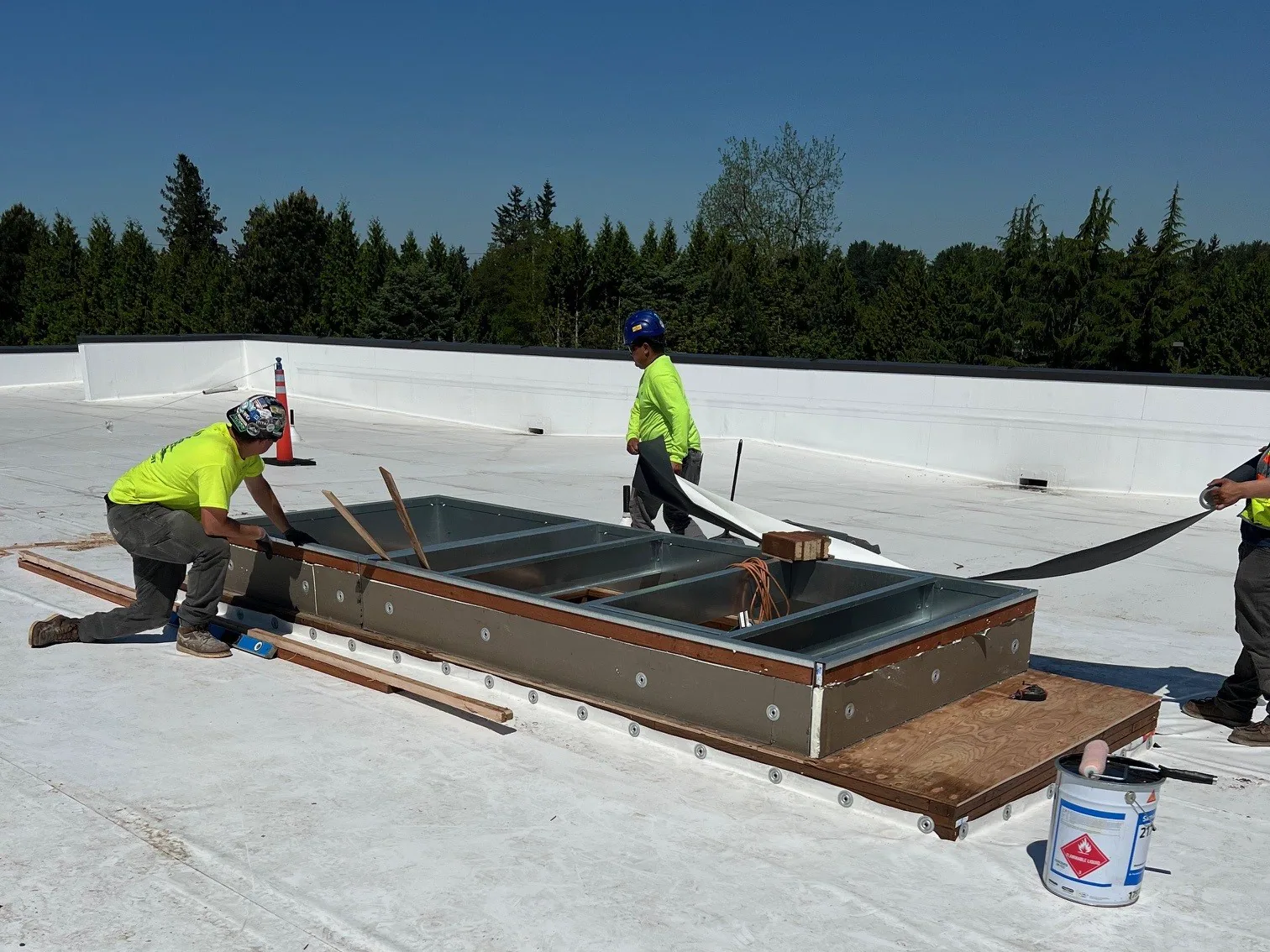
A hands-on inspection can verify membrane seams, penetrations, and drainage. When a broad roof may contain trapped water, infrared moisture mapping can target test cuts. We can document the results in a roof condition report with images and recommended actions. If a repair is needed, planned roof repair follows the verified defect.
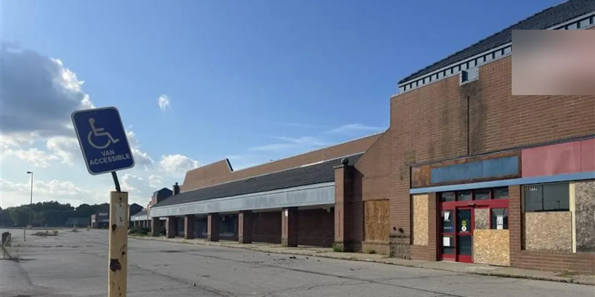
For campuses, retail roofs, and industrial properties, images can help a project team agree on which area is under discussion. The redevelopment mix around Noland Fashion Square and Englewood Arts District includes different building contexts, so we identify the actual address and roof section before assigning findings. A clear location label prevents an image from becoming detached from the building record.
Images and Decisions
A drone visit is most useful when it leads to a field check or a documented next step. We deliver labeled images with a short explanation of what is visible and what remains unknown. Where the camera shows debris, open details, standing water, or displaced edge material, we recommend the inspection or repair that can confirm the condition. If no issue is visible from above, concealed problems can still require testing.
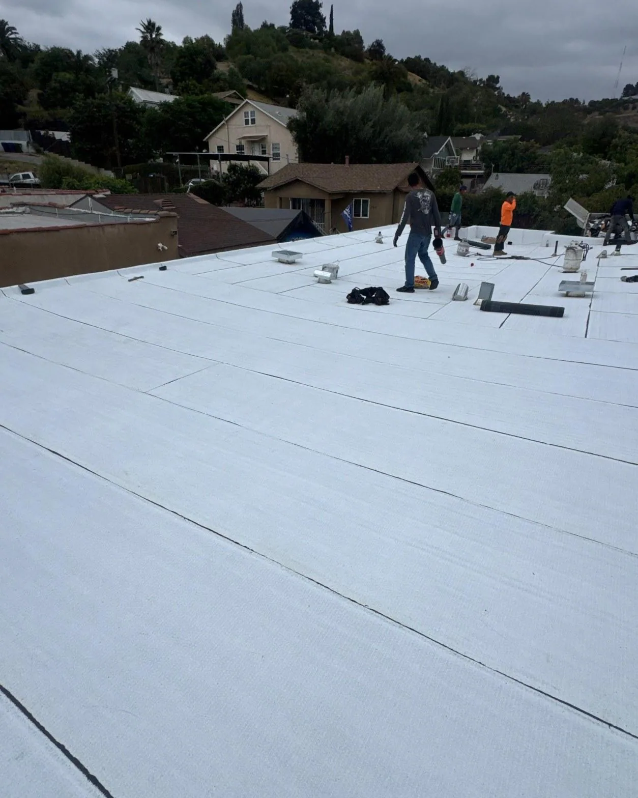
Images can also support planning after a roof repair or replacement. A repeat view can document visible changes at the surface and help track areas that need maintenance. It cannot certify a membrane weld or prove the assembly is dry. Those questions require the appropriate hands-on test and construction records.
Schedule drone roof imaging with Commercial Roofing Independence. We will agree on the coverage area, capture visible roof conditions, and connect the images to field checks that answer the building's actual maintenance or repair question.
Commercial Roofing Questions
Can a drone inspection replace a roof walk?
No. The camera records visible surface patterns but cannot check fasteners, membrane chemistry, insulation moisture, or deck condition. We use imagery to direct hands-on inspection where it is needed. No. Aerial images help map large fields, document visible ponding, and frame rooftop equipment or perimeter details that are difficult to understand from one access point. They cannot confirm bond strength, moisture below a membrane, or the condition of a concealed termination. When those questions affect the repair or replacement scope, a safe hands-on inspection remains necessary.
Will the images show a leak source?
They may show an open seam, puncture, or drainage concern, but many leak paths are concealed. We compare aerial views with interior signs and inspect suspect details on the roof.
Can you fly over an active facility?
We coordinate flight timing and photography rules with the property contact. Security limits, site activity, weather, and airspace conditions can affect the coverage or require a different inspection method.
Are drone images useful after hail?
They can document broad surface conditions and locate areas for closer review. A hands-on check is needed to distinguish marks from punctures or damage below the visible layer. Images can show the distribution of visible marks, debris, and displaced components across a roof field, which helps choose areas for closer review. They cannot determine whether a membrane has lost watertightness beneath an intact surface. The inspection record should separate visible observations from conclusions that require hands-on testing.